
Primary mapping of riverbeds and water reservoirs
Under W.T.A. Mapping technical methodology, hydrographic mapping encompasses two integrated phases:
- Primary Data Acquisition: High-resolution acoustic, magnetometric and GPR sensor arrays custom-configured on shallow-draft motor vessels capable of operating during adverse river stages and launching from unimproved banks without marina infrastructure.
- Data Processing & Configuration: Post-processing raw echo returns into digital terrain models (DTM), 3D dense point clouds, CAD cross-sections and GIS isobaths tailored to engineering specifications.
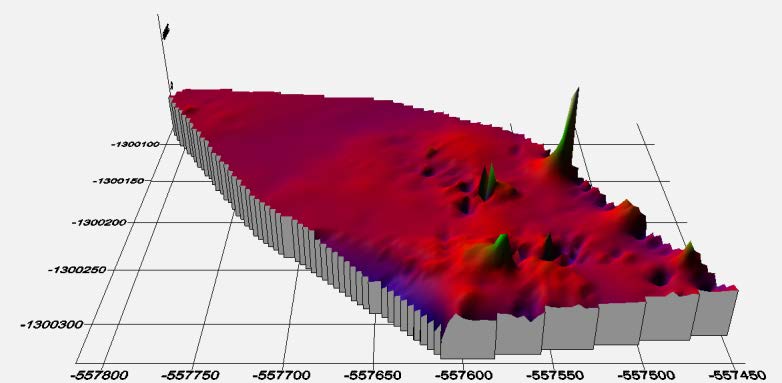
3D sonar point cloud: bridge piers of the Old Bridge in Bratislava and Danube riverbed scour profile.
Practical engineering applications of the sonar system
- Bridge Pier Scour & Structural Health Monitoring: Detecting bed erosion, scour holes and foundation undercutting around concrete bridge piers on navigable waterways.
- Navigational Fairway Survey: Precise depth charting, locating submerged boulders, sunken vessels and navigational hazards.
- Hydro-Power Reservoir Siltation: Calculating sediment volume accumulations in reservoir basins and intake canals.
- Underwater Pipeline & Cable Tracking: Georeferencing sub-bottom utility crossings and verifying sediment burial cover.
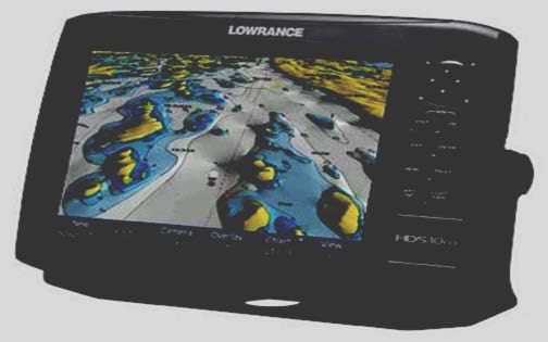
High-frequency acoustic transect displaying sub-bottom bed morphology, scour depressions and submerged obstacles.
Technical benefits over conventional single-beam echo sounders
| Operational Parameter | W.T.A. Mapping Advanced 3D Sonar Capability |
|---|---|
| Deployment Agility | Rapid mobilization within 2 hours; launchable on shallow watercourses and non-maintained riverbanks. |
| Data Acquisition Speed | Survey completed approximately 50% faster compared to single-beam acoustic grids. |
| Point Cloud Density | 60–70% higher spatial information yield with seamless 3D mesh rendering in Bpv vertical datum. |
Secondary & emergency response deployment
- Emergency Services & Police Assistance: Searching for submerged vehicles and evidence beneath murky water using specialized sonar arrays far faster and safer than blind diver sweeps.
- Sunken Asset Recovery: Centimeter-precise coordinates provided for crane recovery vessels.
- Submerged Maritime Archaeology: Discovery of a sunken WWII naval vessel (minesweeper) in the historical Danube branch.
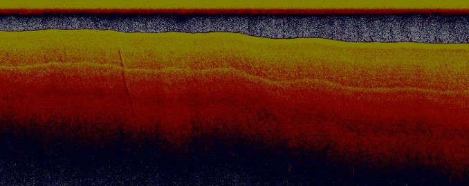
W.T.A. Mapping survey vessel and CMAS diving squad monitoring water surface and riverbed conditions.
Planning riverbed bathymetry or bridge pier inspection?
Contact our hydrographic survey division. We deliver certified 3D DTM models and erosion diagnostics.