
Principles of electromagnetic radar sensing
Ground Penetrating Radar (GPR) operates by transmitting ultra-short electromagnetic pulses into the ground and recording reflected energy from interfaces between materials with differing dielectric permittivity. This provides millimeter-resolved profiling of subsurface layers without a single invasive trench.
- Non-destructive continuous profiling: Generates real-time 2D radargrams and 3D depth-sliced volumes beneath concrete slabs, asphalt pavements and raw soil.
- Combined geophysical methodology: When combined with caesium and fluxgate magnetometry, the system detects non-metallic objects (plastic pipes, clay sewers, voids) alongside ferromagnetic bodies.
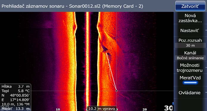
Radargram cross-section: hyperbolic reflections identifying buried high-voltage cable conduit and sewer pipeline.
What can our GPR surveys reveal before excavation?
- Underground Utility Verification: Locating metal, plastic (PE/PVC), concrete, and clay pipelines, high-voltage cables and optical networks.
- Subsurface Voids & Subsidence Cavities: Identifying wash-out cavities under road pavements, collapsed cellars, karst sinkholes and uncompacted backfills.
- Structural Foundations & Buried Objects: Uncovering old masonry foundations, buried tanks, concrete slabs and unrecorded industrial structures.
- Roadway Layer Thickness & Debonding: Measuring asphalt and concrete pavement thicknesses and subbase layer deterioration.
INTERACTIVE RADAR DEPTH INSPECTOR
Switch depth horizons to inspect real geophysical diagnostic outputs:
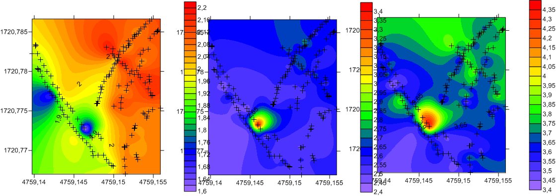
0 m: Surface & Drone Photogrammetry (3D Orthophoto)
DJI Enterprise RTK + Geodetic Export to S-JTSK
Precise 3D digital orthophotomap of the project site with centimeter parcel boundary definition and surface obstacle identification.
Technical specifications of our geophysical equipment
| Antenna Band | Typical Depth | Primary Survey Target |
|---|---|---|
| 900 MHz | 0.0 – 1.5 m | Pavement layer profiling, reinforcing rebar mesh, shallow fiber cables. |
| 500 / 400 MHz | 0.5 – 3.5 m | Standard municipal utility networks (gas, water, sewer), UXO anomalies. |
| 300 / 200 MHz | 1.0 – 6.0 m | Underground tanks, foundation slabs, sinkholes and large burial objects. |
| 100 MHz | Up to 15.0 m | Geological strata boundaries, bedrock contact, deep karst voids. |
Managing subsurface risk ahead of construction?
Contact our geophysics engineers. We propose an optimal antenna configuration and budget within 24 hours.